We provide a cost effective and high quality solution to protect all underground services. Our state of the art equipment can easily pinpoint the alignment and depth of underground services, allowing you to make informed decisions regarding to design elements or excavations in the area. All locations are carried out to the latest Australian Standard, AS5488.
SUBSURFACE UTILITY LOCATION
THE UNDERGROUND UTILITY LOCATING PROFESSIONALS OF PIPE HAWK UTILITY MANAGEMENT HAVE A SOLE MISSION TO SAFELY PROVIDE QUALITY INFRASTRUCTURE PROTECTION SERVICES TO ALL OUR CUSTOMERS.
Applications
- Using an array of geophysical instruments and techniques, we provide subsurface information that enables a realistic and viable construction design
- All locations carried out to AS5488
Equipment
- Electromagnetic induction (EMI) locating equipment
- Ground Penetrating Radar (GPR)
- Pearpoint push cameras
- Flexible trace rods and sondes
Accreditations
- DBYD accredited locators
- Optus accredited locators
Industry-leading Reporting Systems
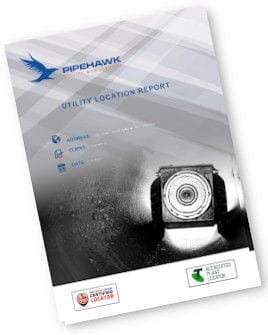
Every client will receive a utility location report, which includes key information such as:
The most up-to-date aerial imagery
Services overlaid visually on your project site
Identification of potential design clashes

Subsurface Utility Location Gallery
Subsurface Utility Location
)
)
)
)
)